
Define the site boundary
Search for the location, then draw, adjust or upload the land boundary. The stored geometry becomes the spatial reference for the instruction.
You define the site. We keep that boundary with the project.
From boundary to report, the workflow keeps the site, evidence and professional interpretation connected. Automated screening speeds up the process; consultant judgement remains central to the professional report.
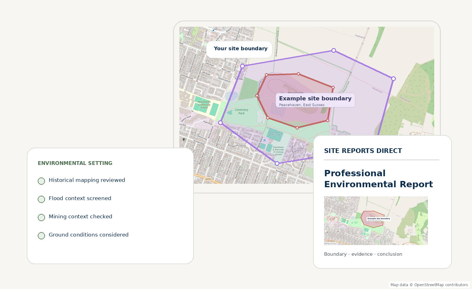
Each stage builds on the last so the final conclusion can be traced back to the site and the evidence reviewed.
Search for the location, then draw, adjust or upload the land boundary. The stored geometry becomes the spatial reference for the instruction.
You define the site. We keep that boundary with the project.
Historical mapping is reviewed to understand previous land use, material change and features that may still matter to the modern site.
History is interpreted in relation to the boundary.
Relevant environmental datasets and site-setting evidence are brought together to identify constraints, sensitivities and potential linkages.
Different evidence layers are considered together.
A reviewer considers what the evidence means for the project, identifies material limitations and decides what recommendations are proportionate.
Professional judgement is not delegated to automation.
The professional report is quality checked, versioned and issued through the controlled workflow with the site and review history retained.
Clear, traceable and ready for project records.Designed to surface useful mapped and historical indicators before purchase.
A defined consultancy scope with evidence review, technical judgement and controlled issue.
The exact evidence depends on the product and site. The workflow is designed to bring the relevant material into one coherent technical review rather than presenting disconnected searches.
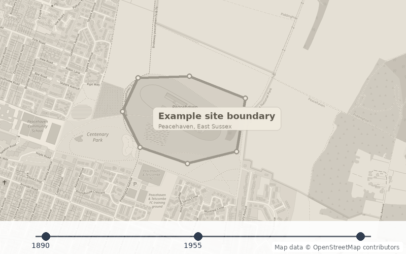
Dated mapping helps identify former land uses and changes that may have environmental significance.
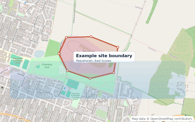

Relevant water environment and flood information can be reviewed in relation to the site and surrounding setting.
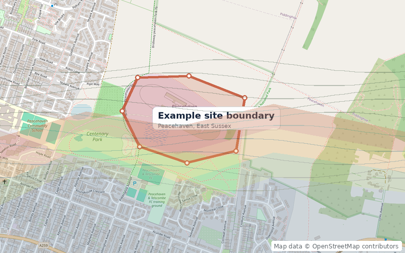

Geological and stability context can help explain possible pathways, made ground or development constraints.
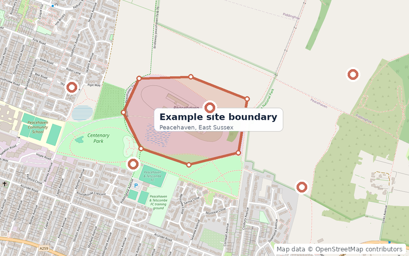
Relevant records are considered spatially so distance, adjacency and the nature of the potential constraint can be understood.
 Timing & delivery
Each report product carries its own standard turnaround. If site complexity changes the scope, that is reviewed before additional work is authorised.
 Questions & support
Send us the site, planning condition or project context if you are unsure which assessment is appropriate.
Contact the team → Quality assurance
The platform supports evidence gathering and workflow control. Professional conclusions remain subject to human technical review.
Start with the free screening in seconds, or choose a professional report for project-specific interpretation.