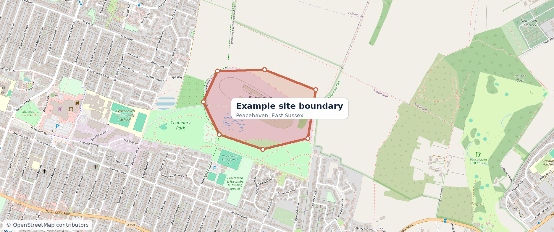
Boundary selected
The customer defines the land being assessed. That geometry stays attached to the instruction.

This is an illustrative composite example designed to show the Site Reports Direct process. It uses genuine UK base mapping, but the example findings are not an assessment of the mapped property.
The important distinction is between finding data and interpreting what it means for the site and proposed use.
The customer defines the land being assessed. That geometry stays attached to the instruction.
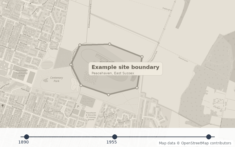
Dated mapping is compared to identify material changes and former uses around the site.
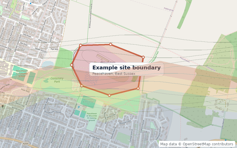
Relevant environmental evidence is considered spatially in relation to the selected boundary.
The report separates what is potentially significant from what has simply been recorded.
 Consultant viewFurther targeted investigation may be proportionateExample wording only
The reviewer explains why a finding matters and what should happen next.
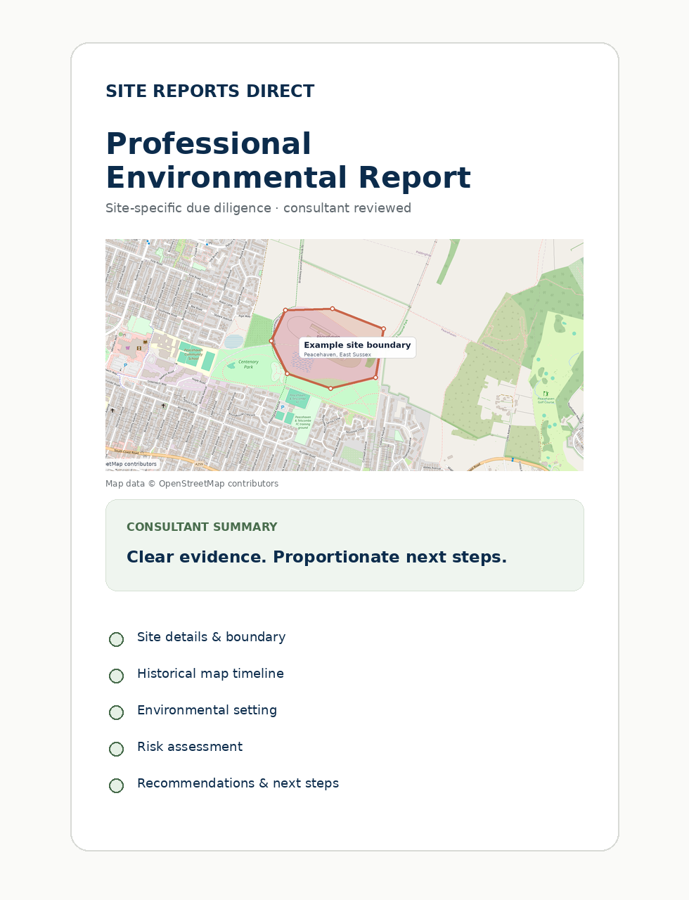
A controlled PDF connects the site, evidence, conclusions, limitations and recommendations.
 Environmental indicators
 Historical context
 Water sensitivity
 Mining context
Good for understanding whether anything obvious deserves attention and for choosing a next step.
Historical mapping can indicate activities or development that warrant closer consideration.
EvidenceThe significance of a record depends on its location, nature and plausible relationship to the site.
ContextSurface water, groundwater and flood context may influence sensitivity and potential pathways.
SettingWhere relevant, coal-mining legacy is assessed through the dedicated CMRA scope rather than assumed from a generic screen.
Specialist scope
The consultant recommendation reflects the combined evidence and project context, not one isolated data point.
JudgementThe exact sections vary by product, but a professional report is designed to connect evidence, interpretation and recommendations in a controlled document.

Define your boundary, run the free preliminary screening and decide whether a professional report is the right next step.