
Historic use reviewedIndustrial and community uses identified
Map-led due diligence
One site.
One site.
Every relevant signal.
Define the site once, then bring together historical land use, flood, mining, ground and planning context in one professionally reviewed report.
Boundary-led
Consultant reviewed
Secure delivery

Selected site
Boundary confirmed
Flood context screenedSurface-water sensitivity assessed
Mining context checkedNo coal-mining feature shown in this example
Landfill records screenedNo nearby record shown in this example
Ground conditions consideredLocal geology and stability reviewed
Consultant review includedFinal report checked before issue
Example findings are illustrative. Your report will be based on the selected boundary and the evidence available for that location.
Operated byEnviroSolution Ltd

Professional reviewHuman technical approval

Map-aware scopeBoundary stored with every order

Audited issueVersioned and verifiable delivery

Professional reports
Premium environmental reporting with a clear standard price.
Start with the site. Choose the assessment. Every professional report is reviewed before issue.
Phase 1 Desktop Study
A professionally reviewed preliminary land contamination risk assessment for planning and property decisions.
£795+ VAT
View scope and pricing →
Phase 1 with Site Walkover
The Phase 1 Desktop Study with an arranged site reconnaissance visit and photographic observations.
£1,095+ VAT
View scope and pricing →
Coal Mining Risk Assessment
A structured assessment of potential coal-mining legacy constraints relevant to the proposed development.
£495+ VAT
View scope and pricing →
Combined Phase 1 and CMRA
A coordinated package for projects requiring both a Phase 1 Desktop Study and Coal Mining Risk Assessment.
£1,145+ VAT
View scope and pricing →
Read the site through time
A modern boundary can have a long environmental history.
Start with the site as it exists today, then examine the historical and environmental context that may matter to the proposed use.
Selected boundary
Historical evidence
Consultant interpretation

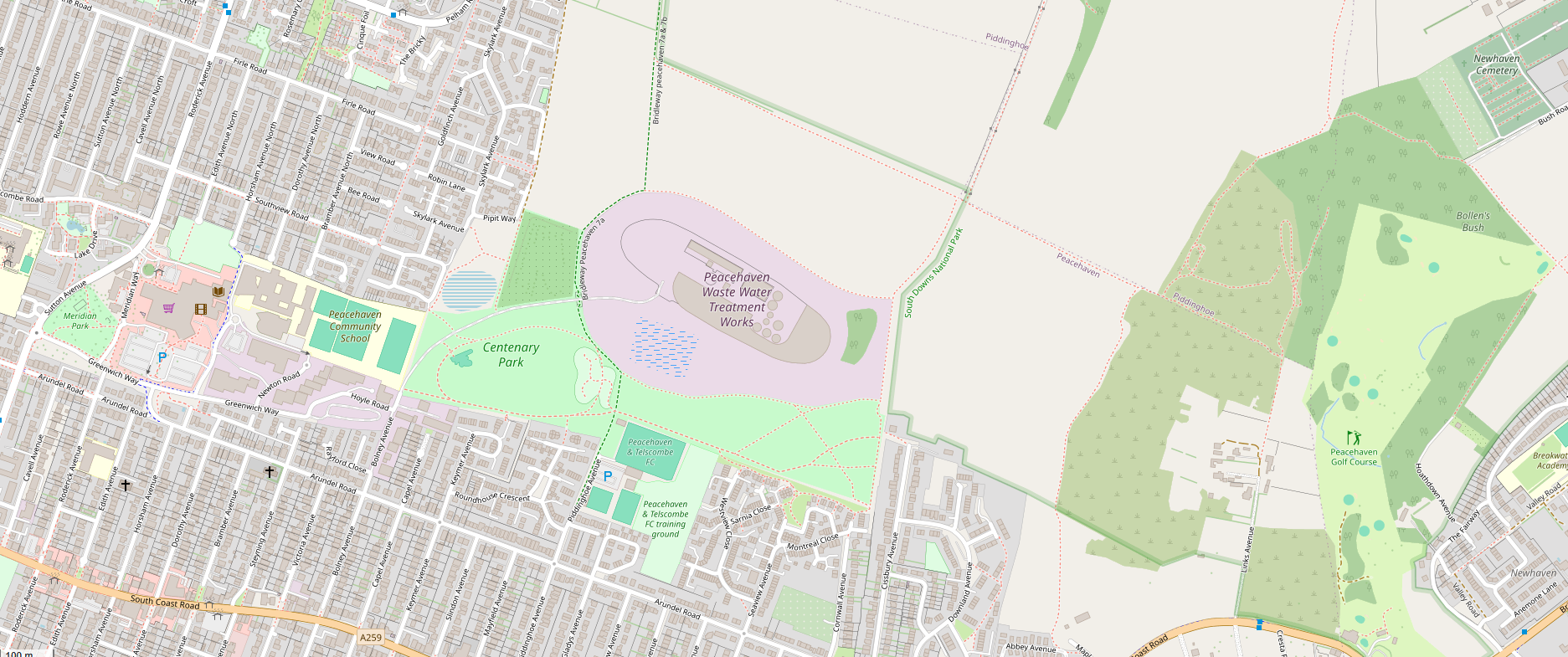
From map to conclusion
Boundary
History
Environment
Judgement
Define what is actually being assessed.
The same stored boundary follows the instruction through the workflow.
Review meaningful change over time.
Historical mapping is screened for former uses and potentially relevant nearby features.
Add current environmental context.
Relevant datasets and supporting evidence are assessed in relation to the site.
Turn evidence into a usable report.
The consultant verifies, interprets and recommends the proportionate next step.
See the process
Follow an example from mapped boundary to issued report.
See what the customer experiences, what the free screening is designed to show and where professional technical review takes over.
View the worked example
The result
A report that explains what changed, what matters and what should happen next.
Not just a collection of searches. The final report keeps the location, evidence and professional interpretation connected.
Check my site free